Architectural workflow
Browser-based terrain modeling for architects
Create a clearer base for early site conversations without rebuilding terrain context separately for every drawing and model view.
Start from the boundary that matters
Define the project area, review the available terrain and contextual mapping, and inspect the prepared result before deciding whether it suits the design task.
- Early feasibility and site understanding
- Concept massing and positioning
- Coordinated design presentations
Keep the site story coordinated
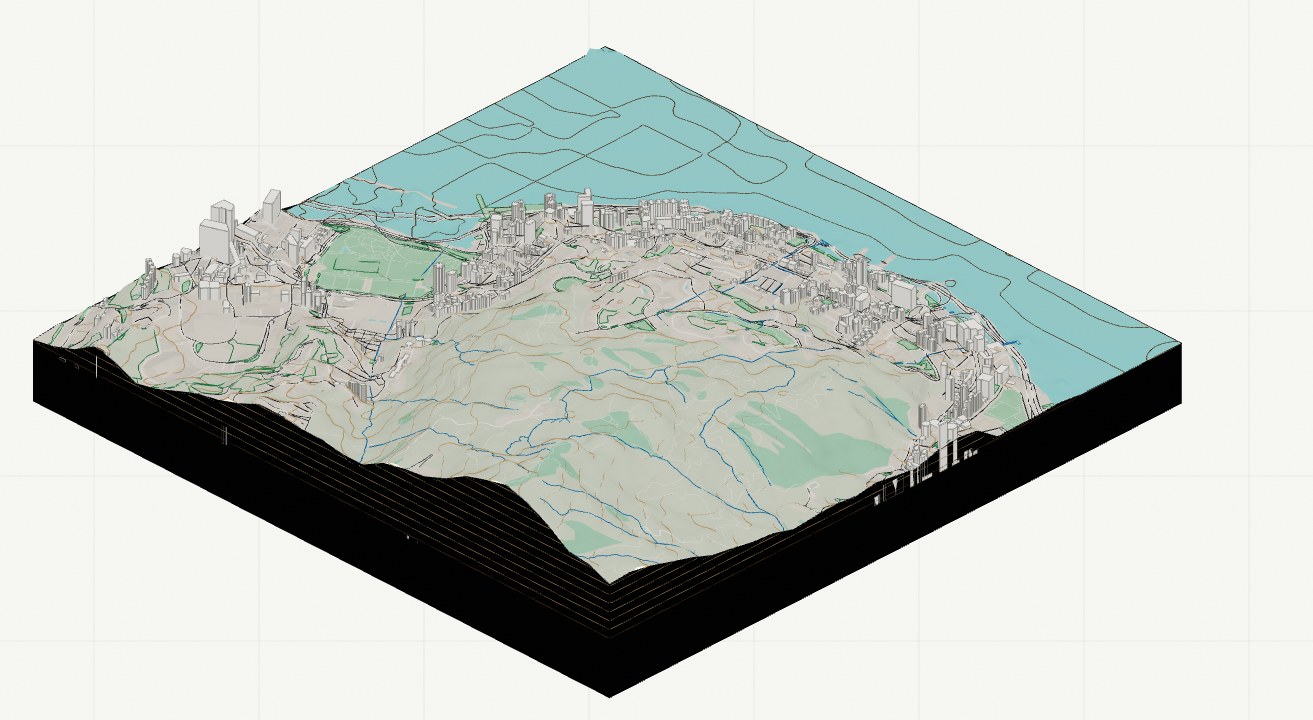
The 3D terrain, plan and section views are prepared from one site package, helping the team discuss the same terrain relationships across different outputs.
Know when professional verification is required
Online terrain and mapping sources vary by location. Critical boundaries, levels, utilities and construction information must be checked against commissioned surveys and consultant information.
A practical early massing review
Before placing an early massing option, examine the terrain around the likely footprint and the relationship to access roads. Compare a section through the area with the model so that the proposal is not based only on a persuasive perspective image.
Keep a note of assumptions and unverified source information when sharing the study with the team.