01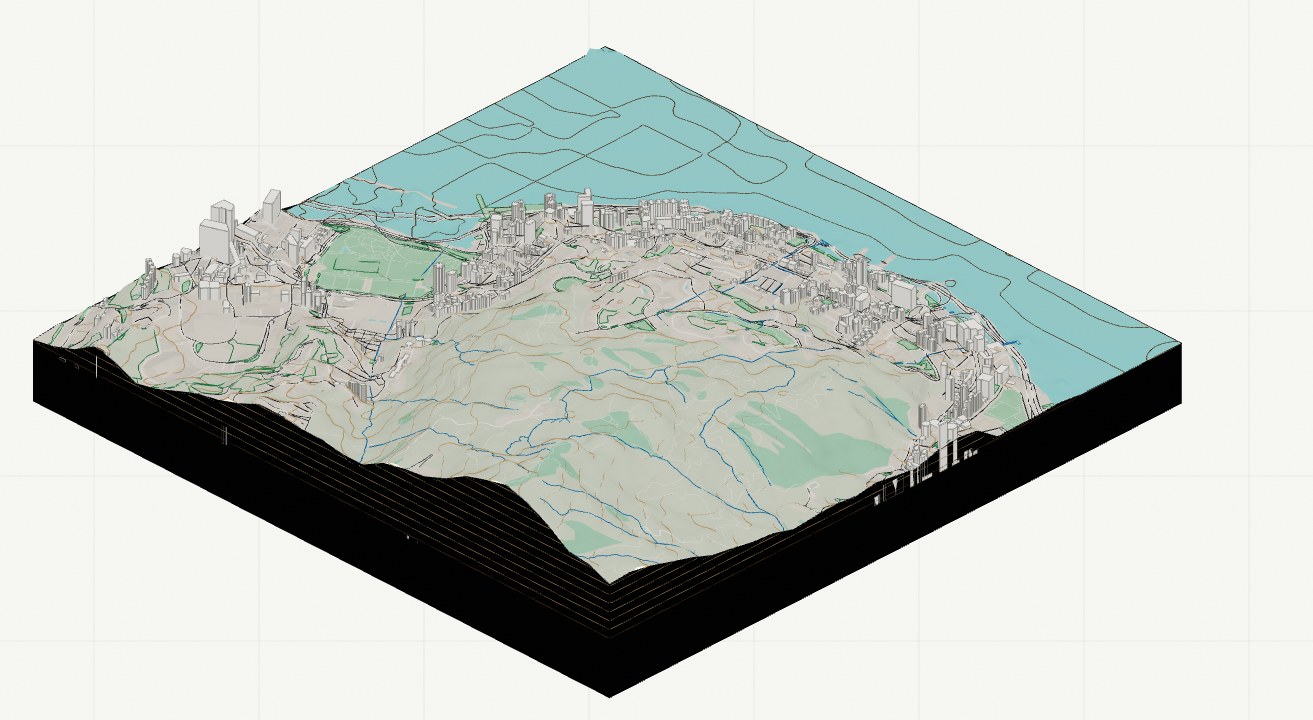
Spatial review
3D Site Model
Read terrain, context, levels, and environmental orientation together.
Coordinated outputs
The model, plan, and section below are generated from the same prepared site package.
Read terrain, context, levels, and environmental orientation together.
Review contours, boundaries, context layers, and annotations as a clear plan.
Inspect the terrain profile, datum, levels, and section relationship to the site.
How it works
Select the site, review the generated information, then continue the design workflow.
Define only the site area needed for the project.
Check terrain, context, plan, section, and 3D coverage.
Move the coordinated site base into CAD, 3D, and presentations.
Simple pricing
Test the workflow on a small site at no cost, then choose a project export based on the selected area.
Free test
Up to 0.8 × 0.8 km (0.64 km²).
Project export
50% OFFNormally $12–$28
Price scales with the selected area from 1 to 20 km².
Questions before you start
Clear answers about intended use, source limitations, review steps, and the information confirmed inside the live application.
TopoWizard prepares a coordinated site view that can include terrain, contours, contextual mapping layers, a 3D model, an annotated plan, and terrain sections depending on the available site data and selected workflow.
No. It is intended for early-stage site understanding, feasibility, concept design, coordination, and presentation. Critical project information must be verified using the appropriate commissioned survey and consultant data.
Terrain and contextual coverage depend on the online datasets available for the selected area. Resolution, completeness, and feature coverage can therefore differ from one location to another.
Yes. The workflow is designed around reviewing the generated terrain, context, plan, sections, and 3D view before moving into the final export step.
The live application shows the current format choices, project limits, trial allowance, and pricing available for the selected workflow before the final export step.