3D terrain and context
Create a 3D site model from a selected boundary
Explore terrain form and available mapping context in one browser-based site model, then compare it with coordinated plans and sections.
What a 3D site model helps you understand
A 3D topo model makes relative height changes and the shape of the land easier to read than an isolated flat map. Look at how available roads, buildings, water and green areas relate to the terrain; mapping coverage varies by location.
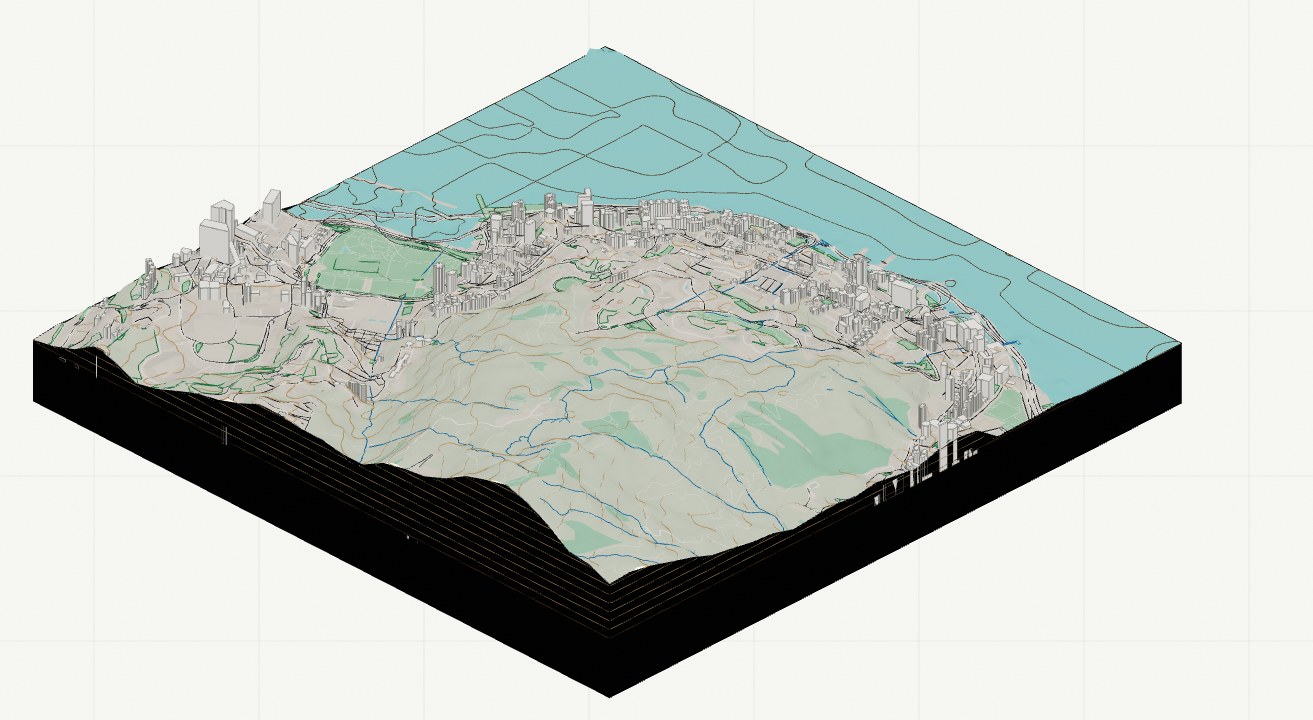
From boundary to model
Select the site you want to study, generate its available terrain and context, and inspect the result before deciding how to use it.
- Check that the location and boundary cover your design question.
- Look for abrupt terrain changes or missing context.
- Compare the same site in plan and section.
- Review the available export options and price inside the application.
Three views, one site
A model explains spatial relationships; a plan explains horizontal arrangement; a section explains a cut through the terrain. Use them together when discussing early massing or access options.
Compare the coordinated outputs Terrain modelling for architects
Is a 3D topography model a survey?
No. This is a way to prepare and review available terrain information, not a new measurement of the site. Verify critical levels and boundaries with the appropriate commissioned survey.