Coordinated outputs
Coordinated terrain plans, sections and 3D views
Understand the site through related drawing and model views prepared from the same selected area.
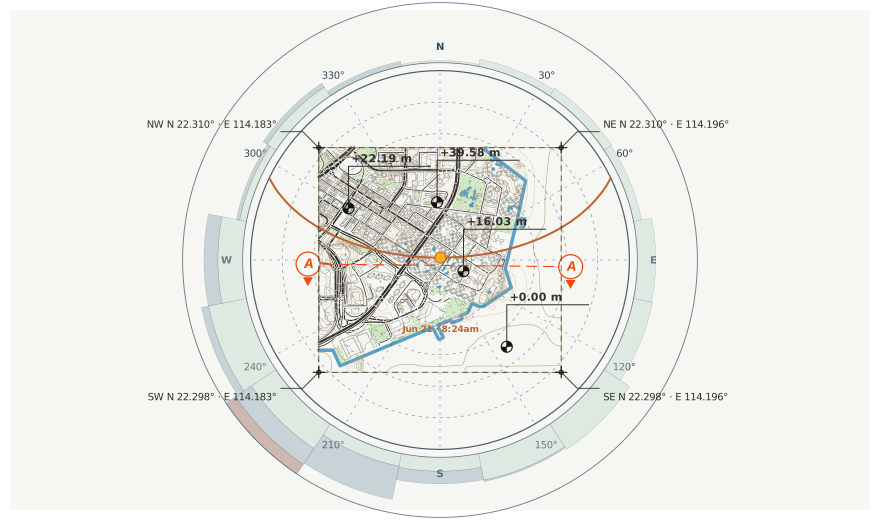
Annotated terrain plan
Review the selected boundary, contours and available contextual layers in a drawing-led view suited to early site communication.
Terrain sections
Read terrain profiles, relative levels and the relationship between a section line and the wider site context.
3D terrain context
Use the model view to understand terrain form and contextual relationships that are harder to communicate through plan information alone.
Use the outputs responsibly
Available formats and project limits are confirmed inside the live application. Generated information remains intended for early-stage use and must be verified for detailed design and construction.
Compare the drawings from the prepared example
The example plan below belongs to the same prepared package as the landing-page model and terrain section. Use the drawing relationships, not just the appearance of each view, to assess whether the information supports your study.